
Examining a Historical Controversy Over the Kurdish and Arab Populations of Hasakah
According to Kurdistan Press, citing the National Context magazine, the Arab Belt project in northeastern Syria, although implemented with the aim of changing the demographic composition of Kurdish areas and creating an Arab strip along the Turkish border, has taken up a limited share of the total population of Hasakah province; however, in some rural Kurdish areas, especially near the border, the share of the population of settled Arab families has reached about one-fifth, affecting the ownership of hundreds of millions of square meters of land. A study by the National Context magazine shows that the population of people of Ghamr descent was about 4-6 percent of the province's population in 2004, and this rate decreased to about 2 percent by 2026, but the consequences of the plan for Kurdish landowners continue.
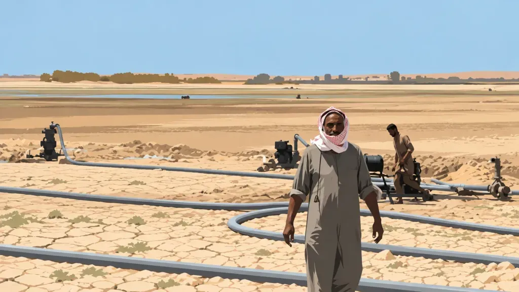
The issue of the Arab Belt has once again become one of the controversial issues in Syrian Kurdish politics after the fall of Bashar al-Assad's government in December 2024.Kurdish parties and human rights organizations have called for the project’s consequences to be examined within the framework of transitional justice, and Kurdish landowners in the Malikiyya, Javadiya, and Derbasiya regions are also trying to reclaim land that was given to Arab families displaced by the construction of the Euphrates Dam in the 1970s. These families, known locally as the Ghamar, have leased some of the land to others in recent years, including under 99-year leases, a move that National Context says could lead to challenges to ownership of the land.
This review presents a different picture of some of the common narratives about the project by examining the statistics of settlements established within the Arab Belt and comparing them with 2004 census data and 2026 population estimates.This study shows that the Kurdish narrative about the transfer of land to non-natives and its widespread consequences in the border areas has historical support; however, some of the figures put forward about the extent of the settlement operation and its role in shaping the province’s demographic diversity do not correspond to the available evidence. In contrast, narratives that consider the impact of the Arab belt insignificant, citing the small share of the settlers in the total population of the province, also fail to explain its consequences in Kurdish rural areas.
The idea of creating an Arab belt dates back years before the implementation of the plan. Muhammad Talab Hilal, then head of political security in Hasakah, had proposed in a study in 1963 that Arab tribes be settled along the Turkish border and Kurds be moved further inland. The Baath Party’s regional congress in 1966 also accepted the plan to create a state strip 10 to 15 kilometers deep along the border.In one study that same year, the area was estimated to be around three billion square meters.
Some Kurdish accounts suggest that the plan involved more than three billion square meters of land, or 3,000 square kilometers, 335 villages, and 40,000 settlers. However, National Context distinguishes between the dimensions of the original plan and what was actually implemented. According to the publication, there is no evidence to support the evacuation of 332 villages or the relocation of 140,000 people from these areas.
Statistics from operations carried out between 1974 and 1977 provide a more limited picture of the scale of the plan. Research by a Kurdish researcher in Qamishlo recorded 38 settlements, 3,977 families, and around 721,531,000 square meters of land ceded.French and German field studies in the 1980s and 1990s also reported the creation of 41 villages, housing about 4,600 families and a population of between 25,000 and 27,000 people, who settled on about 720 million square meters of land.
The area of the ceded lands was about 720 square kilometers, which was about a quarter of the area planned for the Arab Belt in the original plan. The amount of land allocated to each family also varied depending on the region, ranging from about 150,000 square meters around Malikiya to 300,000 square meters around Serikani. These families were mainly from the Walde tribe and neighboring groups who had been displaced from their areas of residence following the impoundment of Lake Assad and the construction of the Euphrates Dam. Of the total displaced families in these areas, about one-third were moved to the border strip.According to the available data, 38 identified settlements were located in eight administrative regions along the Turkish border. In contrast, eight other regions of the province, including the city of Hasakah and its surrounding areas, Tel Tamr, Shaddadi, Markada and al-Hol, which in 2004 had about 43 percent of the province’s population, did not receive any of these settlers.
At the time of the plan’s implementation, the population of Ghamr settlers, which was 25,000 to 27,000, was equivalent to about 5.3 to 5.8 percent of the population of Hasakah province according to the 1970 census. In the 2004 census, the total population of the province reached 1,275,118. Using population statistics from some settlements and population growth patterns, National Context estimates the number of people of Ghamr descent in that year to be between 42,000 and 74,000, with a figure of about 59,000 being more likely. Accordingly, the population of this group in 2004 was between 3.3 and 5.8 percent of the province’s population, and more likely around 4.6 percent.
However, provincial averages do not provide a complete picture of the consequences of the plan. The concentration of settlements in border areas meant that the share of Ghamr families in some rural areas was much higher than their share in Hasakah as a whole. Estimates suggest that this population constituted about 8 percent of the population of the eight border areas in 2004. This share reached about one-fifth in Javadiya, a small area with a mainly rural population where five settlements were established. In Qahtaniya, the share was about 16 percent, and in rural areas outside Qahtaniya, it was about 21 percent. This rate is estimated at 13 percent in Darbasiya, 11 percent in Yarabiya, and 10 percent in Malikiya. The share of the Ghamr population in Amuda and Serikani was also about 7 percent. In Qamishlo, due to the larger population of the city, this rate is about 2.5 percent, although in rural areas it was about one-eighth of the population.
The Syrian war and subsequent population displacements have changed these proportions. According to a June 2026 population estimate prepared by the International Organization for Migration using information from local sources, the number of residents in the 17 towns for which figures were available for both periods fell from 22,870 in 2004 to 11,765 in 2026. This figure indicates a decline of about 50 percent in the population of these towns.
Based on the same estimates, the Ghamr towns now constitute about 2 percent of the total population of the province, and their share in the eight border areas has reached about 3 to 4 percent. However, this share of the population is still higher in some areas, estimated at about 10 percent in Jawadiyah and close to 6.5 percent in Qahtaniyah.National Context emphasizes that the 2026 figures are not the result of an official census, but rather rely on information from local sources; furthermore, the data do not identify the reasons for the decline in the population of the settlements, do not include all Ghamr families living outside the settlements, and some residents of the settlements may not be of Ghamr descent.
The study also contradicts the notion that the settlement of Arabs in the 1970s was the main factor in the ethnic diversity of Hasakah province. Historical data show that the province had a diverse population composition even before the implementation of the Arab Belt. According to statistics from the French mandate period in 1939, the urban population of Qamishlo included more than 14,000 Christians, in addition to about 3,500 Armenians, nearly 8,000 Arabs, and about 5,900 Kurds.The city of Hasakah had an Arab majority and a significant Christian population, while the villages of Khabur around Tel Tamr were predominantly Assyrian. In Serikani, the Arab and Christian populations were roughly equal, with Kurds forming a smaller minority.
A 1953 survey by French geographers also estimated the population of the island to be around 41% Kurdish farmers, 34% Arab tribes, and nearly a quarter Christian. At that time, Kurds were the majority in the Tigris and Qamishli regions, while Arabs were the dominant population around Hasakah. Furthermore, the number of Kurdish villages on the island had increased from a maximum of around 45 villages before 1927 to 700–800 villages by 1939, a trend that accelerated with the arrival of Kurds and Christians fleeing Turkey during the French mandate. In the following decades, Christian immigration and the growth of the Kurdish and Arab populations also changed the demographic composition of the region.National Context concludes that the Arab Belt added a limited layer to the already diverse population composition of Hasakah province as a whole, but in rural border areas it had a much greater impact on the population ratio. For example, if Kurds made up about 60 percent of the population in the rural Qahtaniya district in 2004, excluding the population of the Ghamr settlements from the calculation would bring their share to about 76 percent. Based on estimates for 2026, the same calculation would increase the hypothetical Kurdish share from 60 to about 64 percent for the entire Qahtaniya district. These figures are estimates and do not constitute official census figures for the Kurdish population, as Syria has not provided ethnic data in its censuses since the French mandate.
The location of the settlements also adds to the political significance of the project.These settlements are located on average about six kilometers from the Turkish border, and their location along the border has affected the geographical continuity of Kurdish villages. Therefore, even if the share of the population settled at the provincial level has been limited, their concentration in specific border areas has had consequences beyond their population ratio.



User comments